

Golf, Retail
The Ranches - Pro Shop
A virtual tour of the pro shop at The Ranches Golf Club
Golf
Course models and terrain data for planning and renovation, and aerial models and 3D tours of the clubhouse and grounds for marketing and events. One capture team for the whole property.
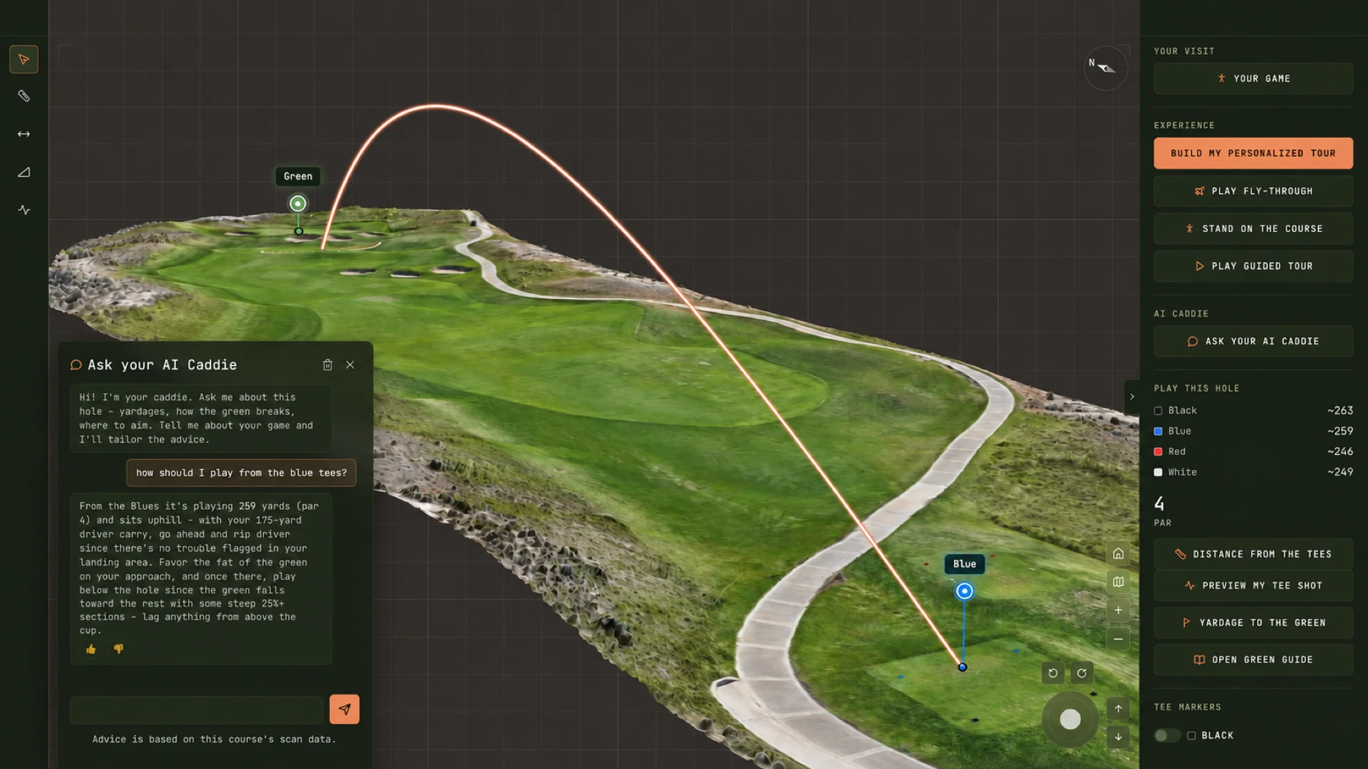
For visualization and planning only. Our maps, models, and terrain data are not a boundary survey or a legal survey, and they don’t establish property lines, acreage, or easements. Any boundaries we show are approximate, drawn from public parcel data or information you provide. Slope, drainage, and site-suitability findings are planning aids, not engineering or soils studies. For certified survey work, we’ll refer you to a licensed land surveyor.
Drone-captured course models and terrain data: elevation, slope, and drainage across the holes you choose. For architects and renovation firms, it's a current base for planning and presenting changes. For clubs and superintendents, it's a dated record of the course as it is today.
How terrain data worksAn aerial model of the clubhouse and grounds, combined with walkable 3D tours of the clubhouse, event spaces, pro shop, and fitness center. Members, guests, and event planners can see it all before they visit.
We created 3D tours for facilities at The Ranches Golf Club, including the pro shop and the gym.
A virtual tour of the pro shop at The Ranches Golf Club
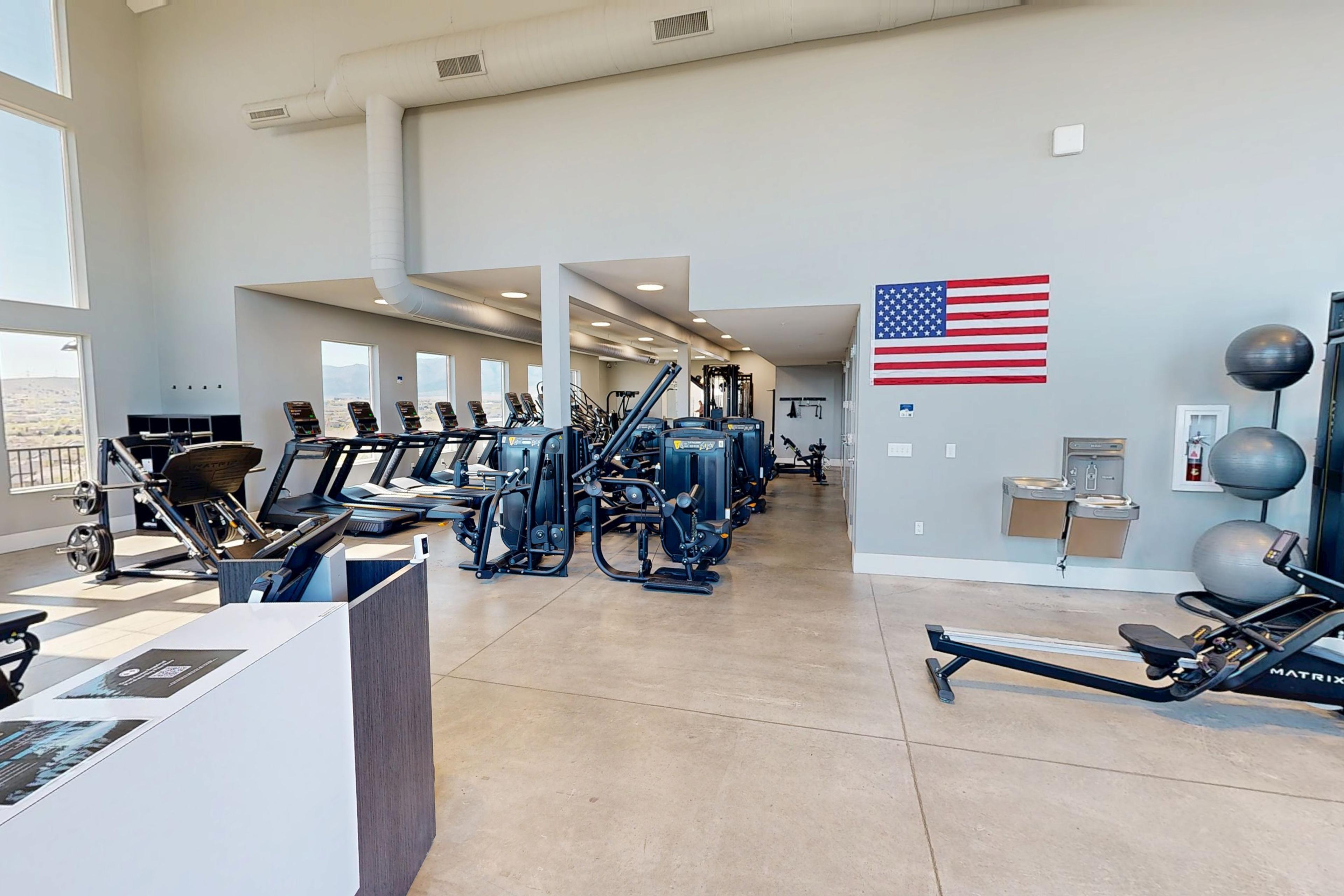
A virtual tour of the gym at The Ranches Golf Club
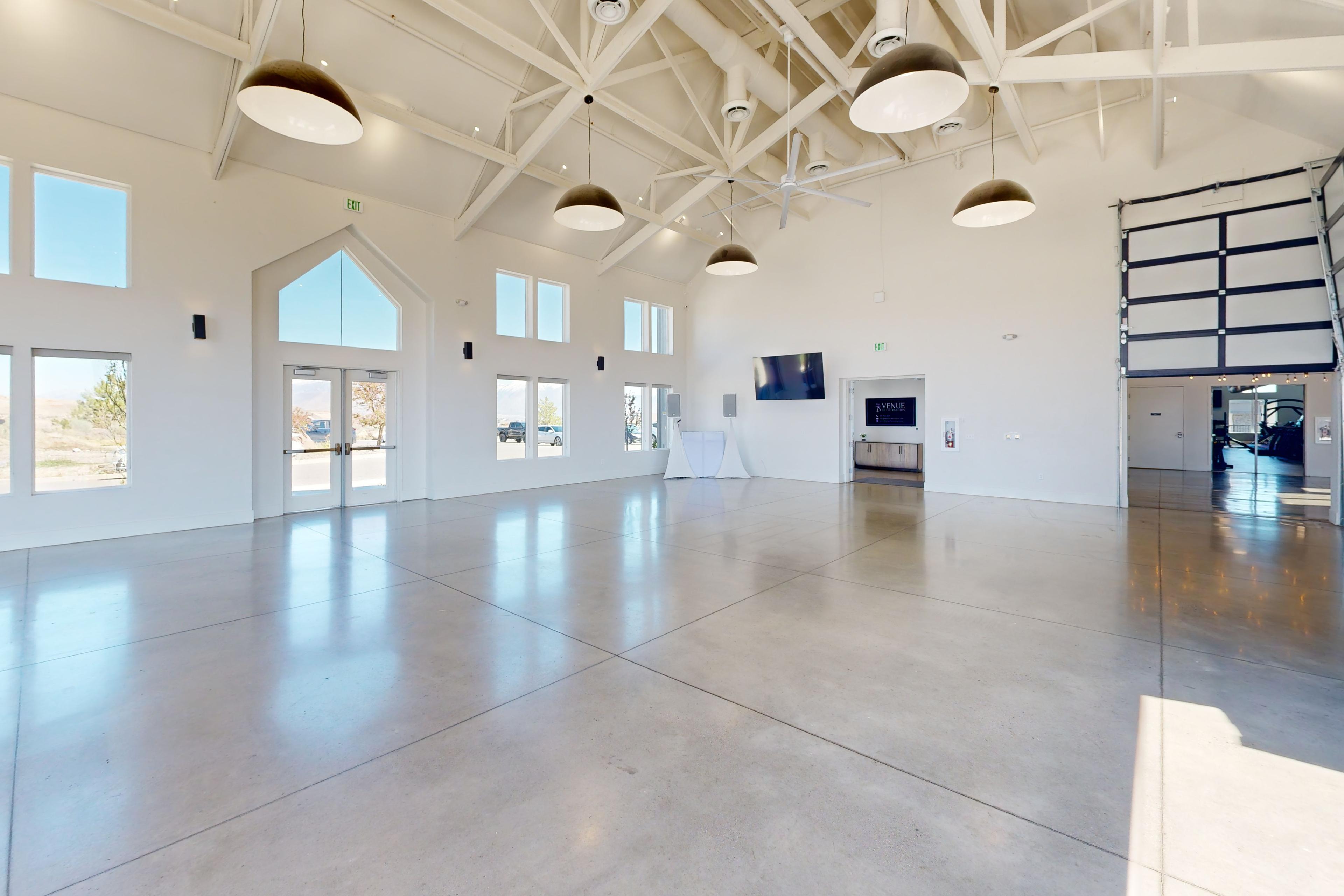
A virtual tour of The Venue at the Ranches
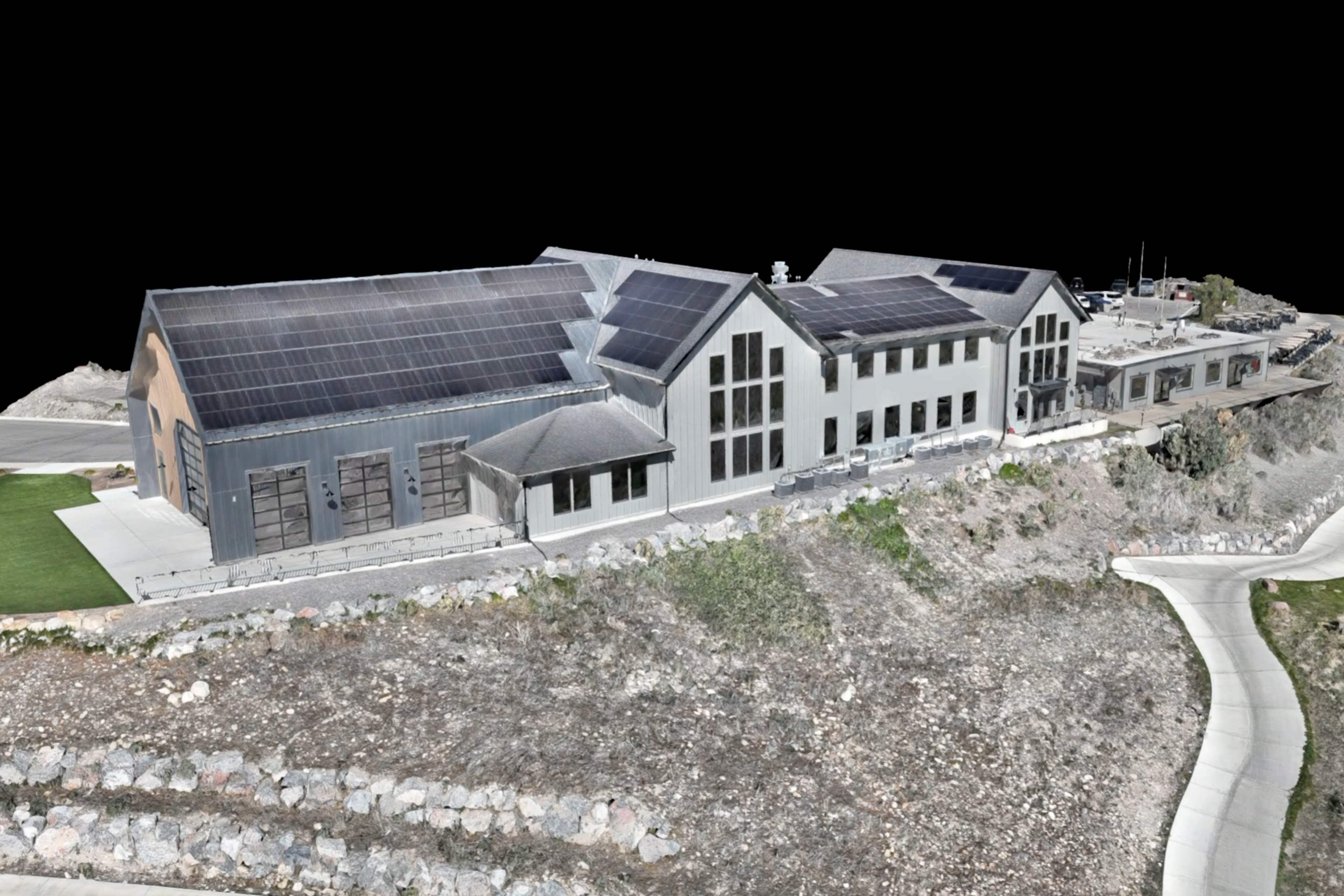
An aerial model of the entire exterior of The Venue at the Ranches
“He created multiple 3D tours for our facilities and honestly exceeded what we were hoping for.”
We look at the property on a map together, agree on the area and the deliverables, and check airspace.
We fly around tee times and maintenance, coordinated with your superintendent or operations team.
We build the orthomosaic, elevation model, and analysis layers, and map the features.
You get files, overlays, and a walkthrough call to go over what we found.
No. We schedule flights around tee times and maintenance with your superintendent or operations team.
No. It's for visualization and planning. For construction documents or boundary work, your project team should use a licensed surveyor.
Yes, as an existing-conditions base for planning and presentation. Your architect or engineer decides whether it meets their accuracy needs.
Yes. We can capture the course, the grounds, and the interiors as one project.