
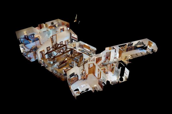
Virtual Tours
Immersive virtual tours allow people to explore your space as if they were physically there. Viewers can move freely through the environment, understand layout and scale instantly, and gain confidence before ever visiting in person.
We create digital representations of physical spaces using advanced imaging technology. Deliverables include virtual tours, aerial mapping, and 3D modeling. Our work gives both clients and viewers a clear, measurable way to showcase and understand scale, layout, and spatial flow—without guesswork or abstraction.
Contact Us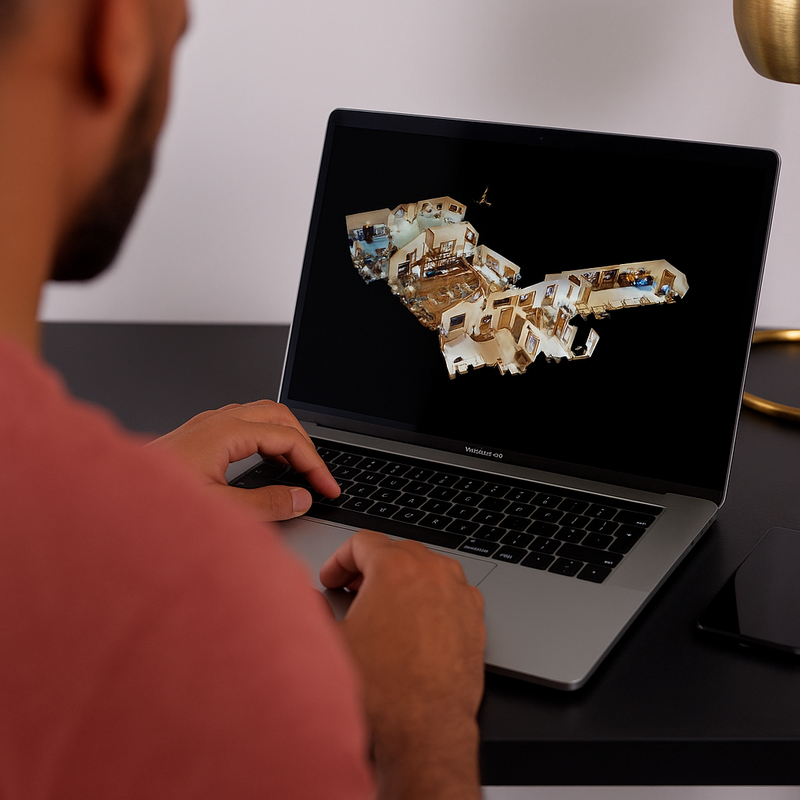
Immersive virtual tours allow people to explore your space as if they were physically there. Viewers can move freely through the environment, understand layout and scale instantly, and gain confidence before ever visiting in person.
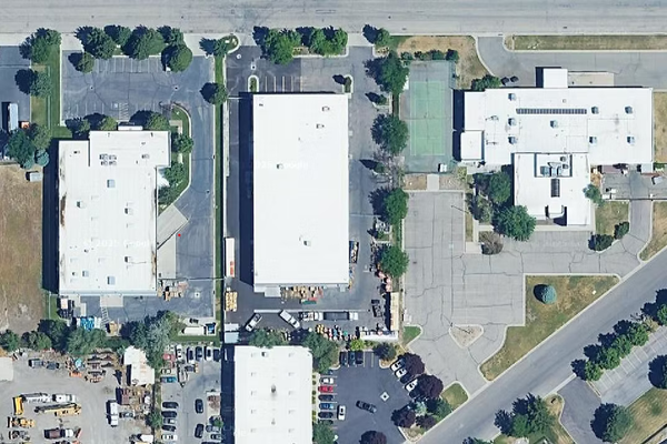
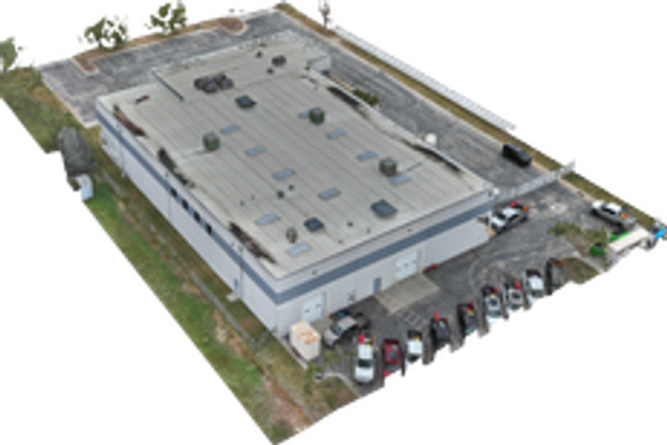
Aerial mapping transforms large properties into clear, interactive visual assets. By capturing your venue from above, it reveals scale, flow, and surroundings in a way traditional photography cannot. These models help audiences instantly understand the space and its context.
3D models convert real-world spaces into precise digital assets that can be viewed, shared, and analyzed. They provide accurate geometry, proportions, and spatial relationships. These models are useful for planning layouts, visualizing changes, and supporting technical or marketing needs.
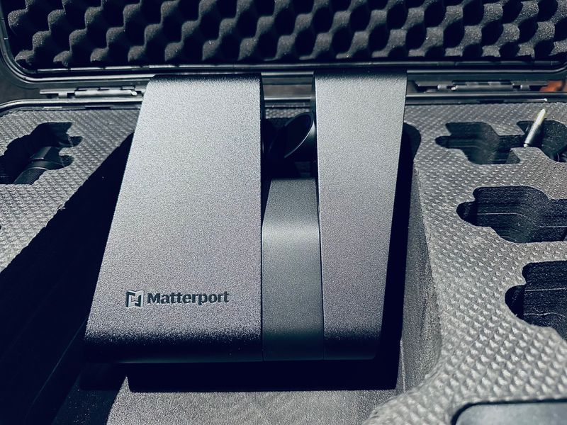
We create immersive digital representations of real-world spaces through LiDAR camera systems, drones, and interactive visualization. Blending technology and design, our work focuses on accuracy, clarity, and realism to help people understand places before they ever visit them. From detailed interior models to large-scale environments, we turn physical spaces into intuitive digital assets that build trust, communicate value, and present environments with confidence.
Where can this technology be used? How does it provide a unique experience separate from traditional media?
• We capture your property inside and out—LiDAR-scanned interiors paired with aerial envelope imagery—creating a tamper-proof baseline that adjusters and restoration teams can reference after any loss • When claims get disputed over square footage or pre-existing conditions, you have documented proof that speeds approvals and cuts through the back-and-forth • Scan data includes precise measurements, material conditions, and timestamped imagery that holds up to scrutiny from insurers and legal teams • Whether you're protecting a single high-value property or documenting an entire portfolio, the archive pays for itself the first time you need it


